Image Analysis Consulting
Consider BioVoxxel’s services to speed up, enrich, facilitate, automate or outsource image processing and analysis.
You have huge amounts of image data to process and analyze ?
- Consulting regarding image analysis challenges and related experimental and imaging setup
- Development of specific standard operating procedures (SOPs) for your image analysis project
- Individual training on specific chosen image analysis topics
- Outsource image processing and data preparation for your analysis
You need a piece of software for your image analysis which does not yet exist ?
- Tailor-made, automated image analysis solutions based on ImageJ / Fiji
- Programming service to develop a piece of software according to your needs
- No additional software costs or license fees. You just pay the customized service
- Support to adjust your BioVoxxel tool to changing conditions once the software is in use
Analysis Gallery
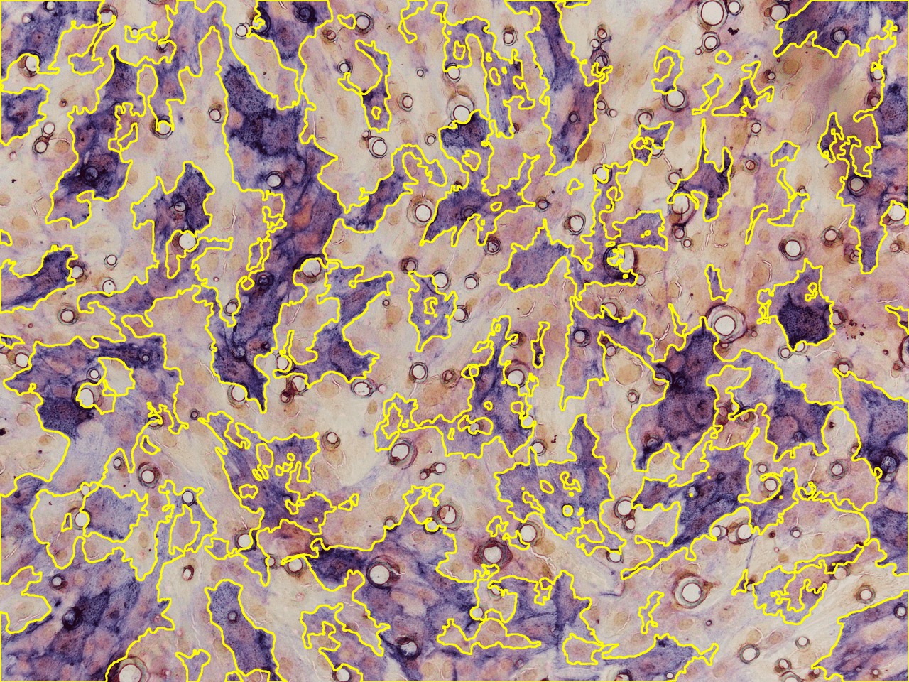
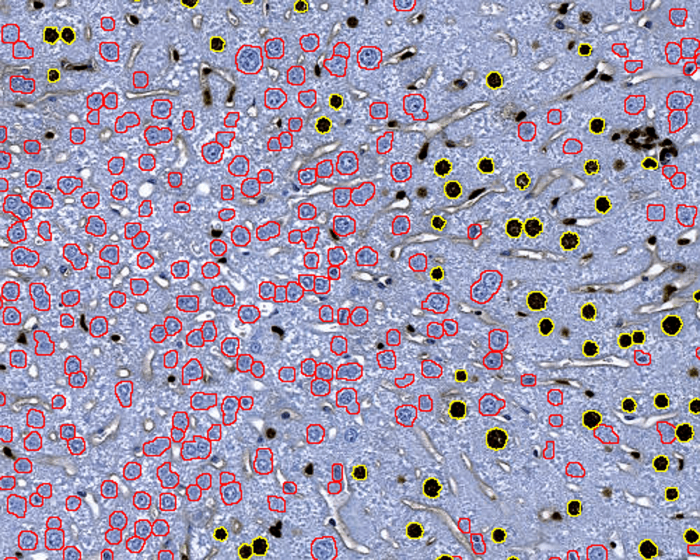
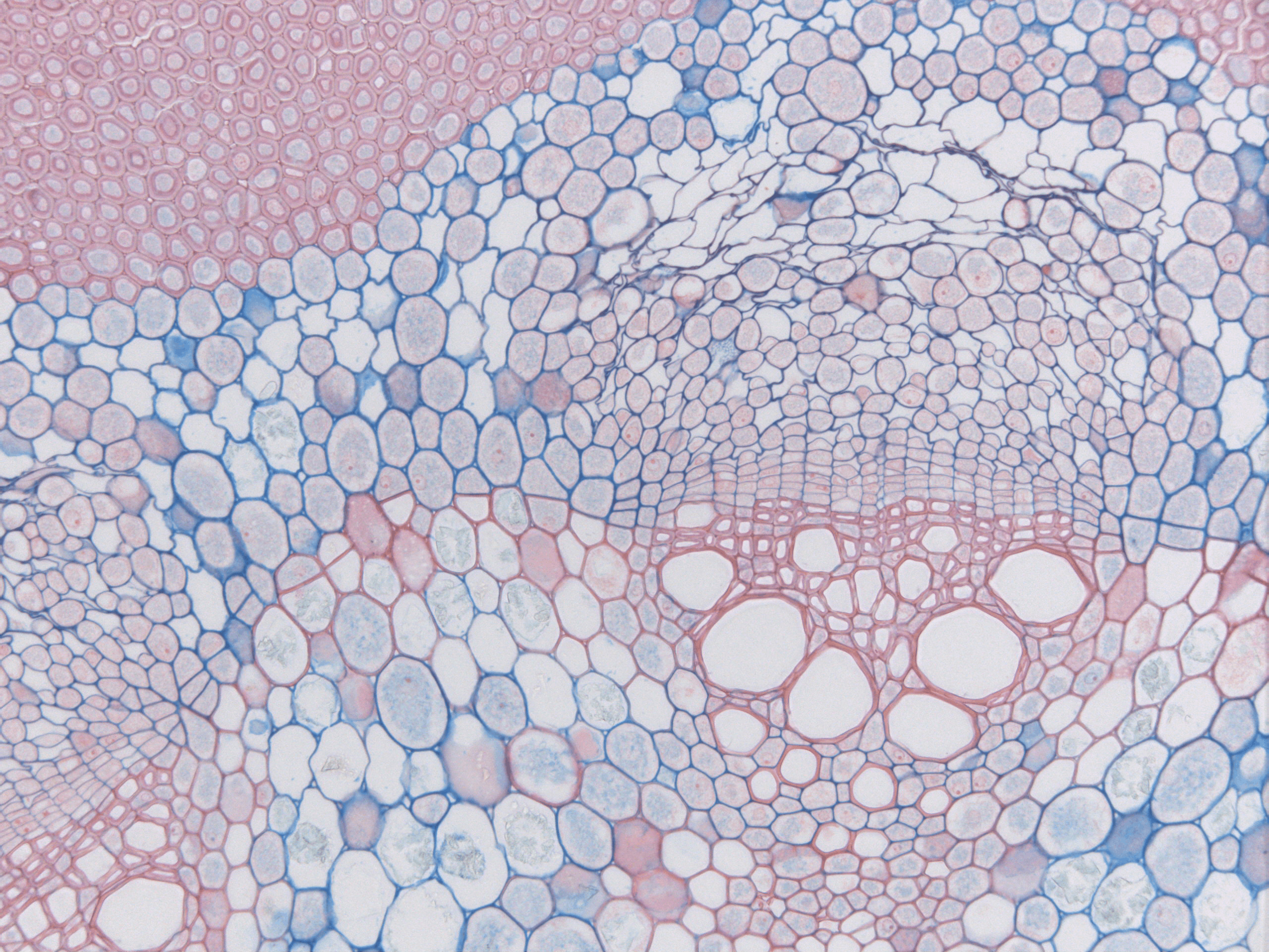
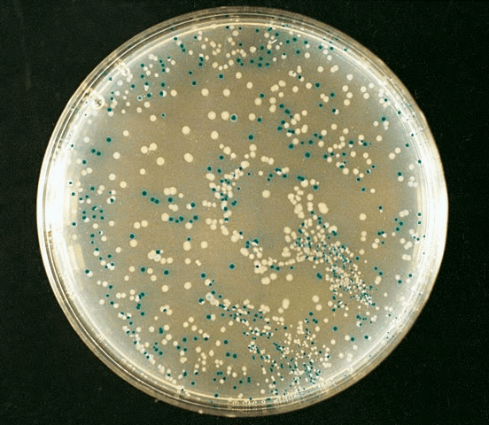
Image sources: [1] D. Guduru, [2] Brocher, [3] Autor Dr. phil.nat Thomas Geier (via Wikipedia)